About
Albion College prepares bold, purpose-driven students to act.
We’re a nationally-recognized liberal arts school with strong ties to our local community. Our students pursue their passions while gaining a true understanding of the world. They learn to turn critical thought into meaningful action. Our faculty make mentorship their top priority. We prioritize building a culture of belonging that makes space for everyone. Albion students graduate ready to thrive in rewarding careers, live meaningful lives and help build a better world.
Mission & Vision
Throughout our history, we’ve been recognized for academic excellence in the liberal arts tradition, our learning-centered commitment, and our future-oriented perspective. By creating a culture of innovation and collaboration, we’re continuing — and building upon — our proud tradition.
Diversity, Inclusion & Belonging

We are committed to building a campus that feels like home for every member of our community. Our Office of Belonging leads that mission, by facilitating conversations and directing actions to become the anti-ism, antiracist institution we strive to be.
Albion at a Glance
Since its founding in 1835, Albion College has grown and expanded its vision of a liberal arts education grounded in purpose, passion and academic excellence. Get a snapshot of who our students are, our academic programs, campus, athletics and our national rankings.
Planning Your Visit
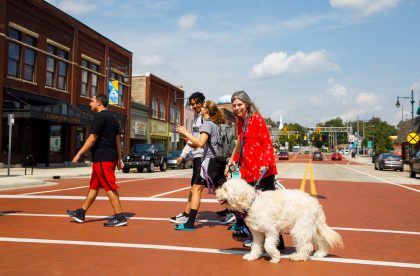
Whether you’re heading into town for a reunion weekend or visiting campus for the first time, there’s so much to see and do, from award-winning restaurants to movies and theater. Like our campus, our town is unique–and we can’t wait to share it with you.
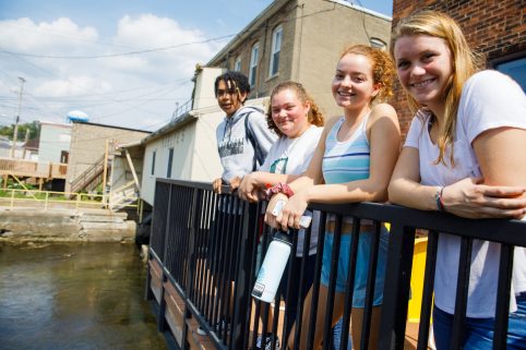
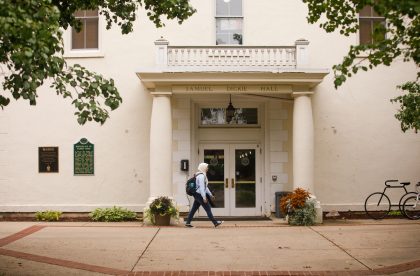
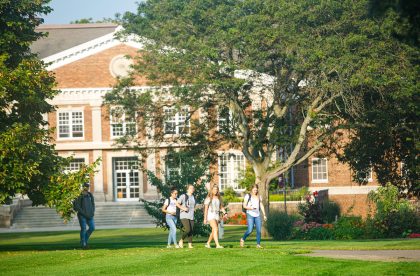
Campus & Community
Our campus is an integral part of the city of Albion, Michigan and the city is a fundamental piece of the Albion College experience. Students and community members alike can trek through our sprawling nature center, canoe down the Kalamazoo River and enjoy a slice of pizza in a bustling downtown, all in the span of a few hours.
Explore Our Campus Explore Our Local CommunityAdditional Information
Learn more about the people, places and work that make Albion special.